
Banaba Island - Marplot Map with Contours (1-20,000) (2007)
Banaba and Rabi · 1945 · picture 4 of 12 in this chapter
- Credit
- Mr Minton from San Diego, US · CC BY 2.0
- Licence
- CC BY 2.0
- Chapter
- Read “Banaba and Rabi” → · Walk into it in the 360° museum →
- Source record
- View the original record ↗
- The file
- Open the full-size picture ↗ — CC BY 2.0; reuse it under those terms and keep the credit.
More from “Banaba and Rabi”
 sketch map of Rabi Island, Fiji, Pacific Ocean (2010)
 Rabi Island, Fiji
 Map of Rabi Island, Fiji, Pacific Ocean, showing villages
 Banaba (Ocean Island) seen from space (2002)
 Astronaut photograph of Banaba, Kiribati, with villages and landmarks
 The Pacific Phosphate Company offices on Ocean Island (Banaba)
 Ocean Island Railway (later Banaba Island Railway) (1906)
 Ocean Island railway, main line (1906)
 Ocean Island Railway (later Banaba Island Railway) (1907)
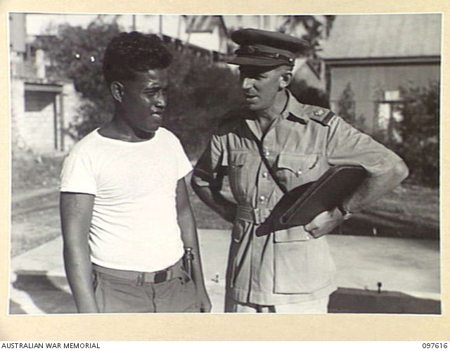 OCEAN ISLAND, 1945-10-01. NABETARI, A GILBERTESE ISLANDER WHO LIVED AT SEA FOR 7 MONTHS WHILE ESCAPING FROM THE JAPANESE DURING THEIR OCCUPATION OF THE ISLAND.
 Banabans in the Banaba island, the beginning of the 20th century (1900)
Tell the museum something
A memory, a correction, or a question. Nothing you send appears on the site. It goes to the museum’s own queue, a person reads it, and they decide. If you teach, know this place, or remember it, your correction is worth more than a compliment.
This picture is shown with the credit and licence given by the collection that holds it; the museum claims no rights over it. Where the museum also holds an enhanced interpretation of this picture, it appears only inside the chapter, beside the original, and is labelled as speculative.