A photograph of a recreation of the star compass of Mau Piailug depicted with shells on sand, with Satawalese (See Trukic languages ) text labels, (2010)
Voyaging between Fiji, Tonga and Samoa · Centuries of exchange · picture 4 of 12 in this chapter
- Credit
- Newportm · CC BY-SA 3.0
- Licence
- CC BY-SA 3.0
- Chapter
- Read “Voyaging between Fiji, Tonga and Samoa” → · Walk into it in the 360° museum →
- Source record
- View the original record ↗
- The file
- Open the full-size picture ↗ — CC BY-SA 3.0; reuse it under those terms and keep the credit.
More from “Voyaging between Fiji, Tonga and Samoa”
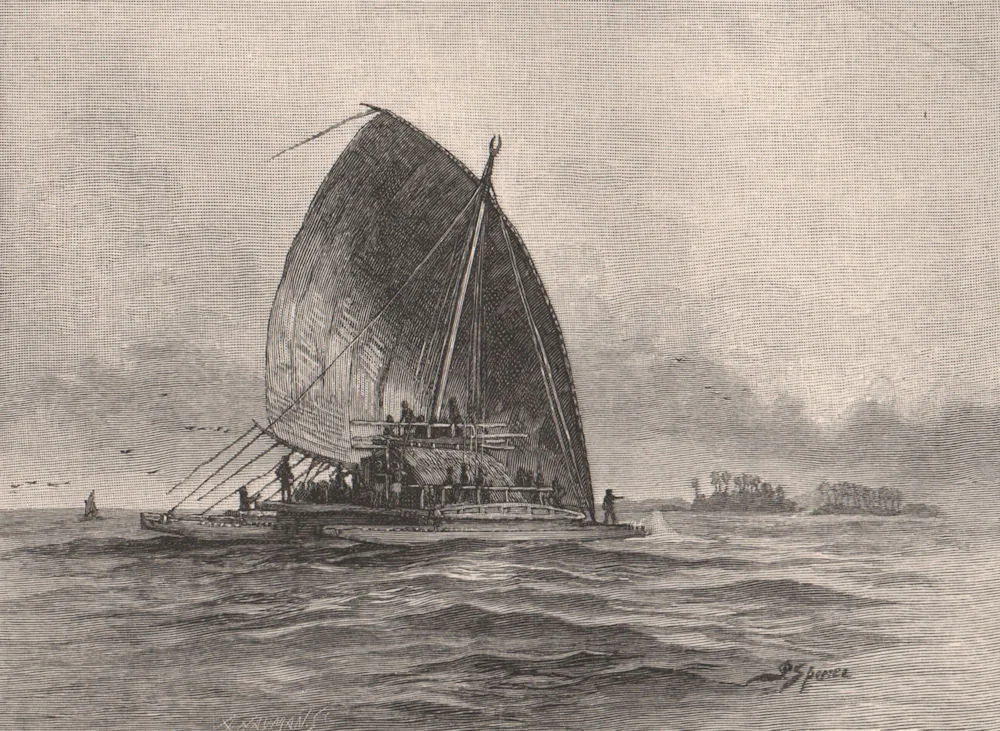 A Fijian double canoe under sail near low islands — 19th-century engraving
 Tupaia's chart of the islands surrounding Tahiti in Oceania (1769)
 Polynesian triangle stretching from New Zealand in the south to Easter Island in the east and Hawaii in the north. (2010)
 Hōkūle`a, a modern Hawaiian wa'a kaulua or voyaging canoe, sailing off Honolulu, photo taken from onboard the Chinese junk Princess Taiping , January 22, 2009.
 Large traditional double-hulled vaka in Rarotonga. (2010)
 Map of Oceania (2008)
 Mago Island, Lau Group, eastern Fiji (2000)
 NASA astronaut image of the Yagasa Cluster as part of the Lau Archipelago in Fiji (2001)
 NASA astronaut image of Moce Island with Karoni Islet and Na Potu Reef, Lau Archipelago, Fiji (2011)
 Naitaba (Lau-Islands) (1999)
 Water bottle, Lau - Otago Museum - Dunedin, NZ (2024)
Tell the museum something
A memory, a correction, or a question. Nothing you send appears on the site. It goes to the museum’s own queue, a person reads it, and they decide. If you teach, know this place, or remember it, your correction is worth more than a compliment.
This picture is shown with the credit and licence given by the collection that holds it; the museum claims no rights over it. Where the museum also holds an enhanced interpretation of this picture, it appears only inside the chapter, beside the original, and is labelled as speculative.