
Fiji History MuseumTravel to the past.
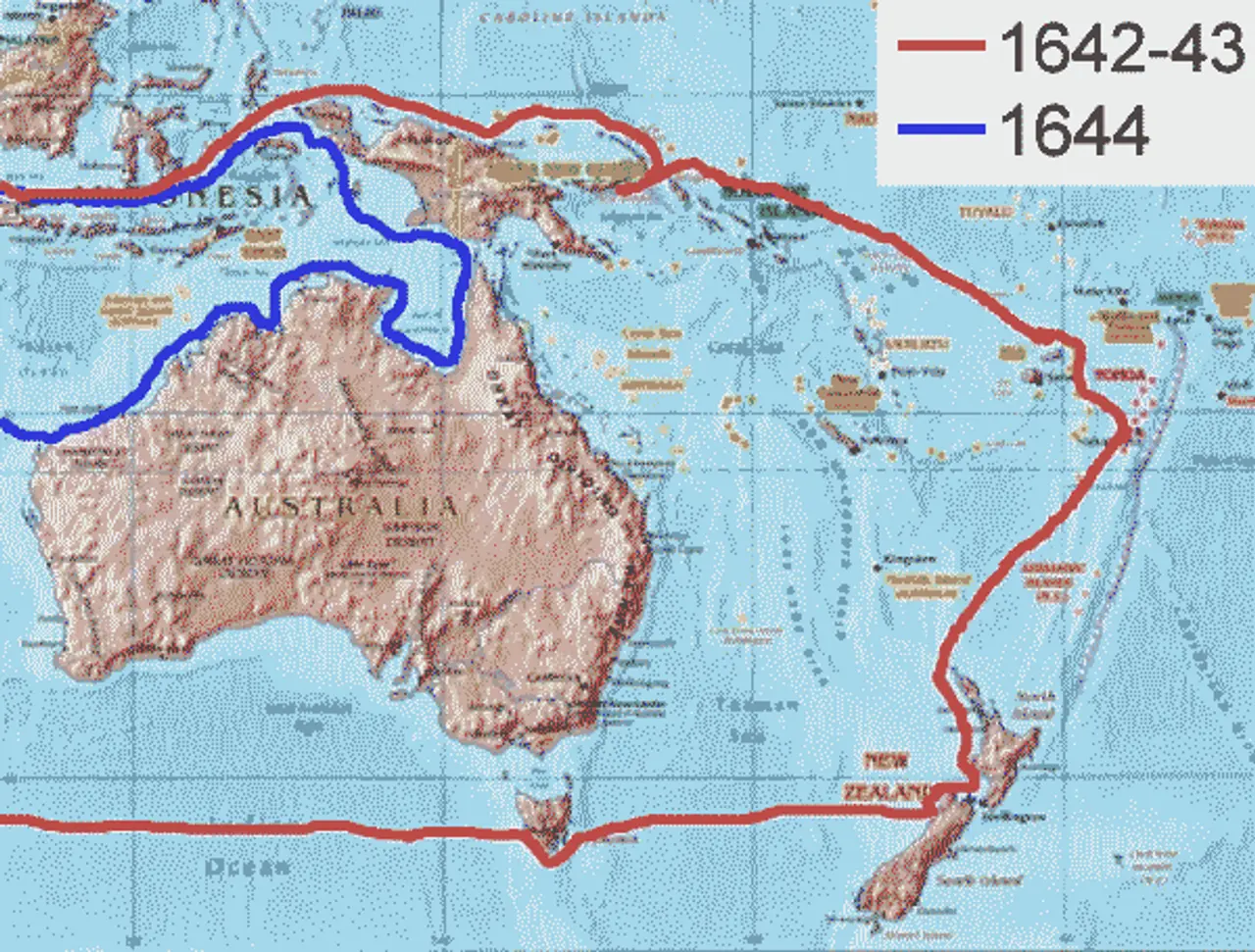
Map of Abel Tasman's voyages
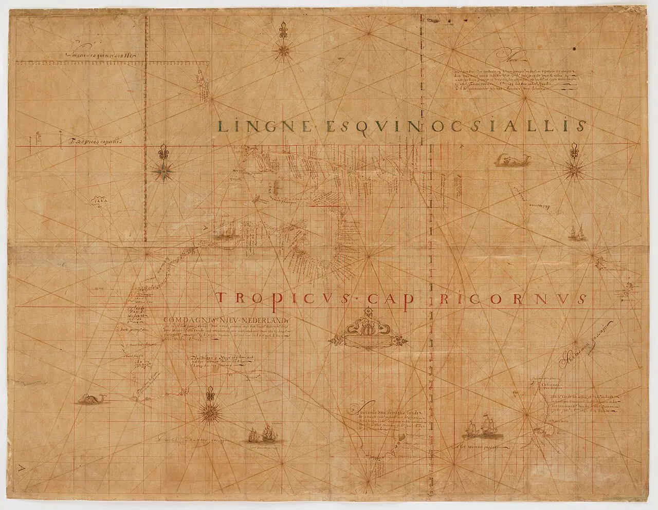
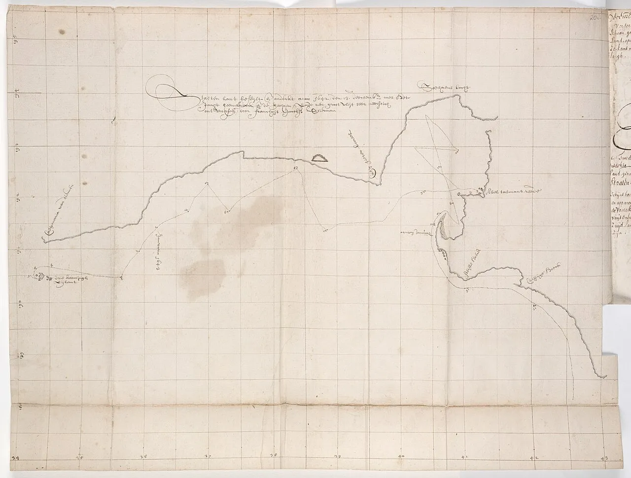
Early Dutch map of the lands found on Tasman's voyages — State Library of New South Wales
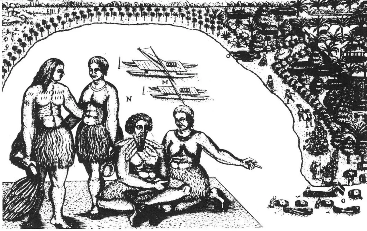
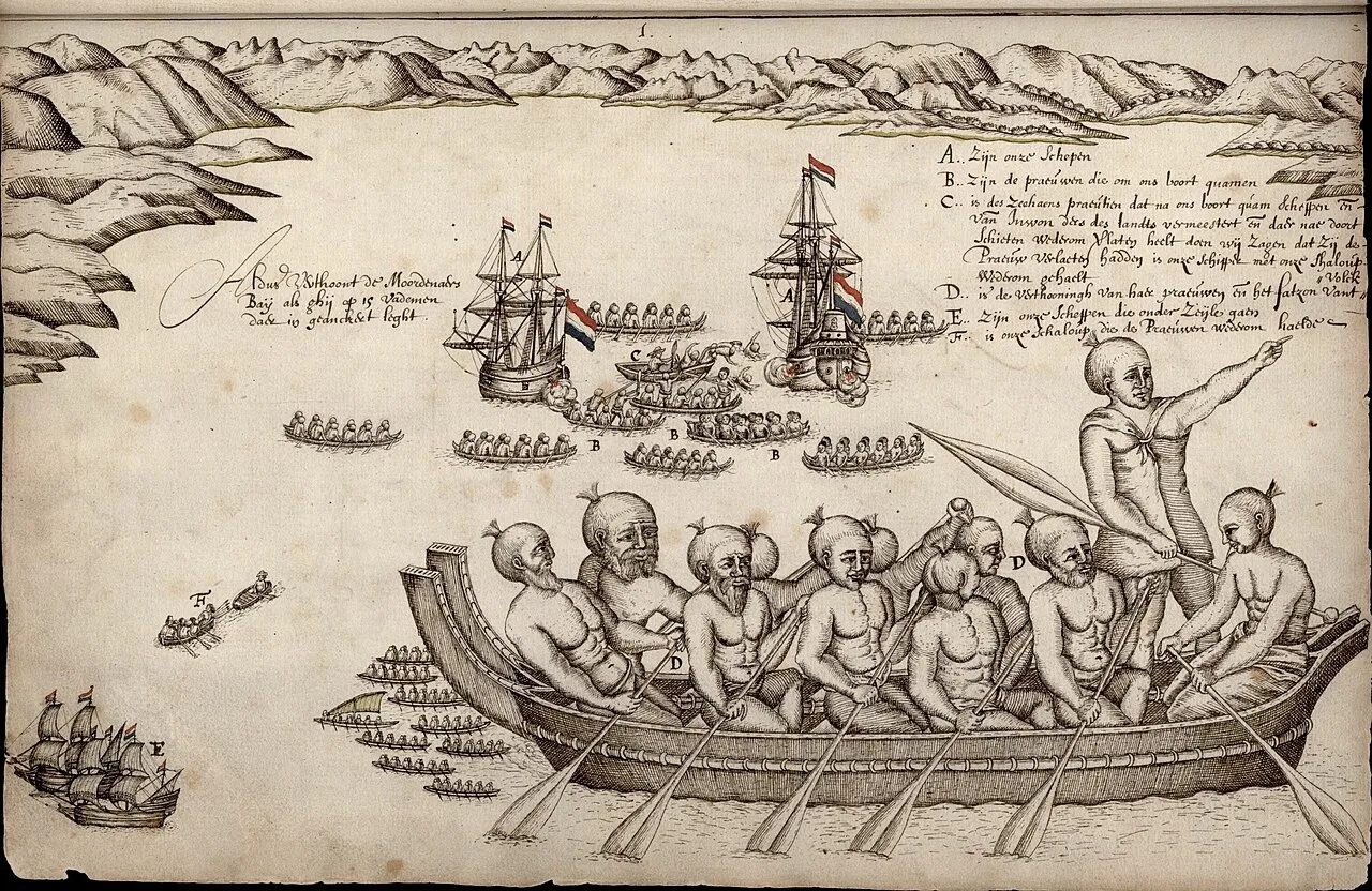
Woodcut by Isaack Gilsemans from Abel Tasman's journal, 1642–43
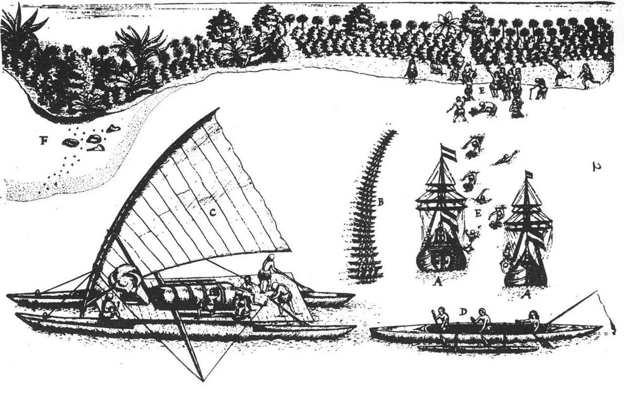
Woodcut by Gilsemans (?) from ship diary by Abel Tasman , showing both ships in the bay (A), the inhabitants of Tongatapu with presents (B and E), showing their cano (C), how they fish (D), and where
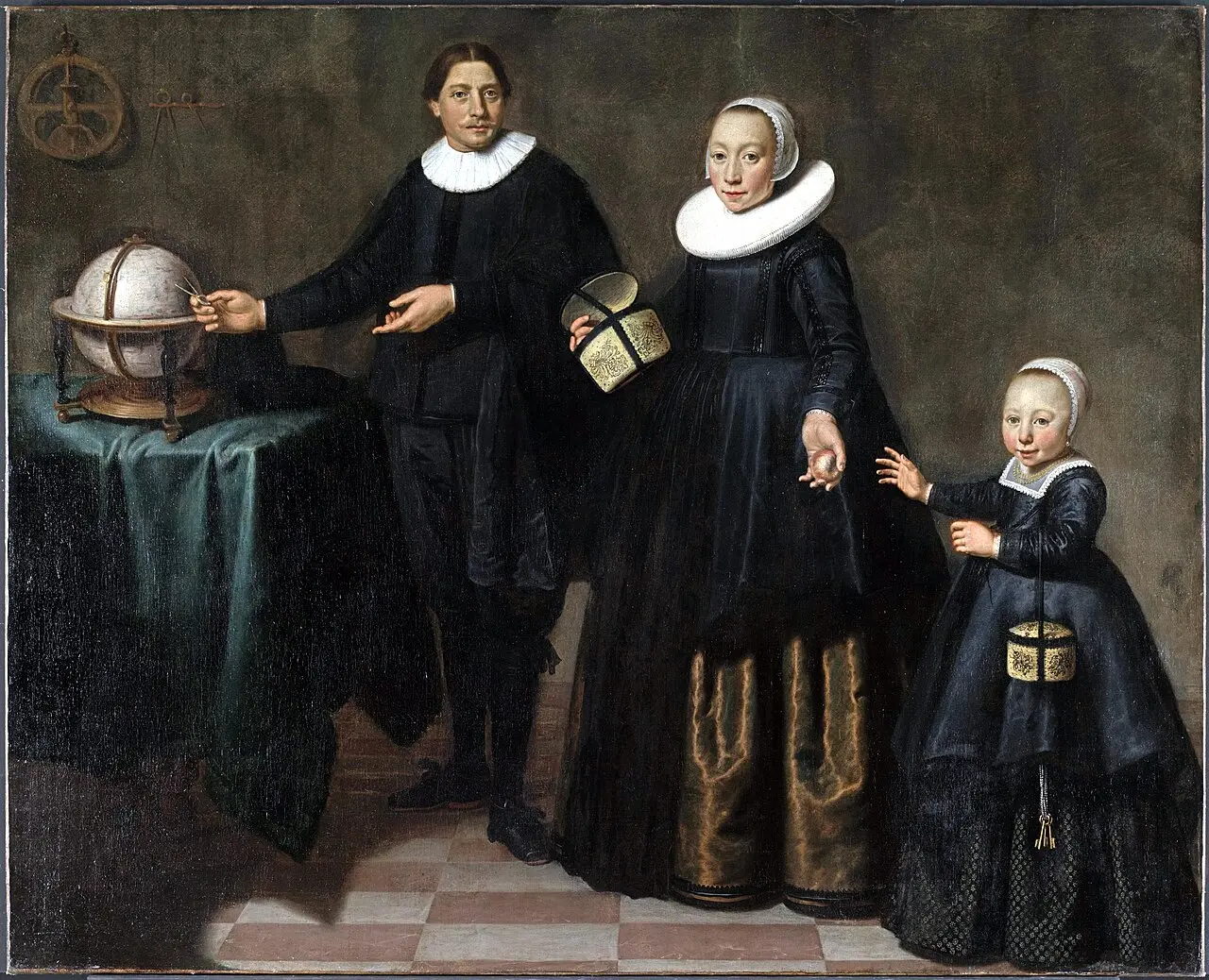
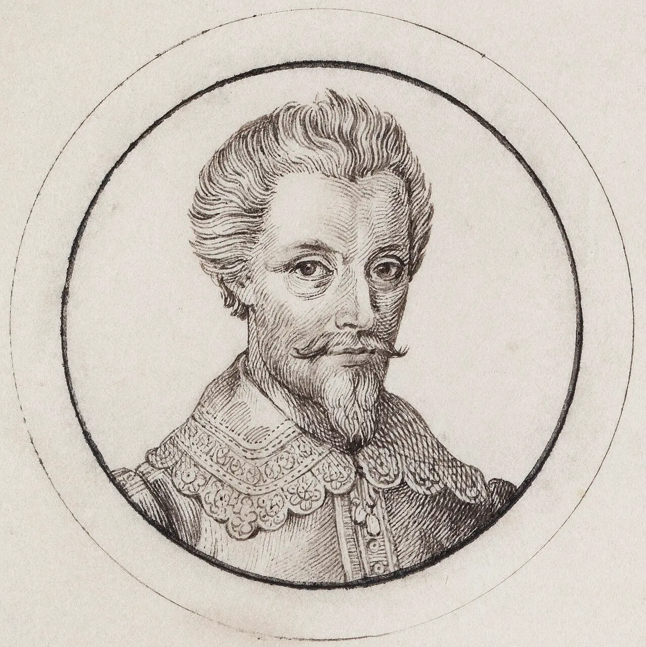
Portrait of Abel Tasman, his wife and daughter
A view of the Murderers' Bay, as you are at anchor here in 15 fathom (text upper left). (1642)
Chart of the north-west coast of the South Island, New Zealand, Huijdecoper journal of Abel Tasman, Hessel Gerritsz, 1643, drawing, State Library of New South Wales, Safe 1/72
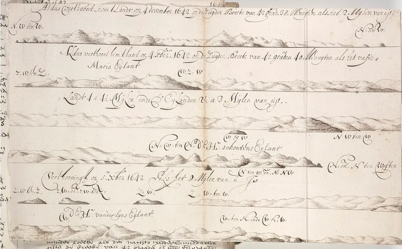
Coastal drawings of Tasmania, Huijdecoper journal of Abel Tasman, Hessel Gerritsz, December 1642, drawing, State Library of New South Wales, Safe 1/72
Abel Janssen Tasman, Navigateur en Australie. (1850)
Tracing of a chart from Abel Tasman's voyages
1643
c. 1000 BCE164317741804Early 1800s12 October 1835185330 April 18541855187110 October 1874By 187514 May 18791916192010 October 1970
Explorers · 14 of 45Swipe up

Abel Tasman sights Fiji, 1643

1643

A chart records a voyage, not the beginning of a place.

Tasman encountered parts of Fiji in 1643, and Cook reached Vatoa in 1774. The islands already had a long history of settlement and seafaring. In the early nineteenth century, sandalwood and other trades drew more overseas ships. Exchanges of goods, labour and knowledge changed local relationships. Fijian communities shaped these encounters alongside foreign visitors, amid new opportunities and pressures.

Sources

This pictureMap of Abel Tasman's voyages · Public domain · record ↗

Chapter text is awaiting cultural and historical review.

Dimau Group