 1945
c. 1000 BCE164317741804Early 1800s12 October 1835185330 April 18541855187110 October 1874By 187514 May 18791916192010 October 1970
Banaba and Rabi
1945
Banaban history connects land, extraction, movement and memory.
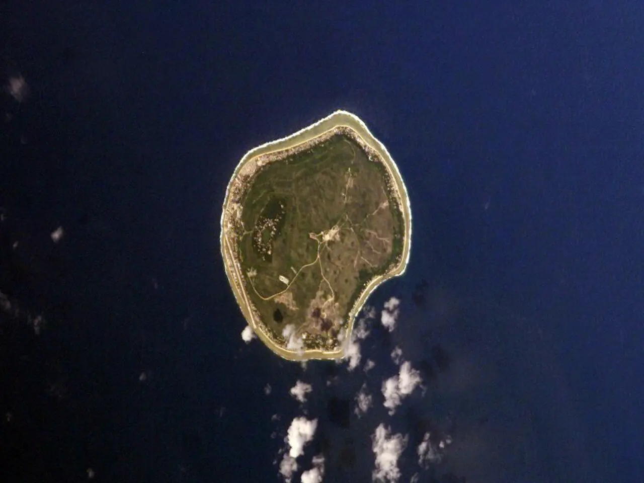
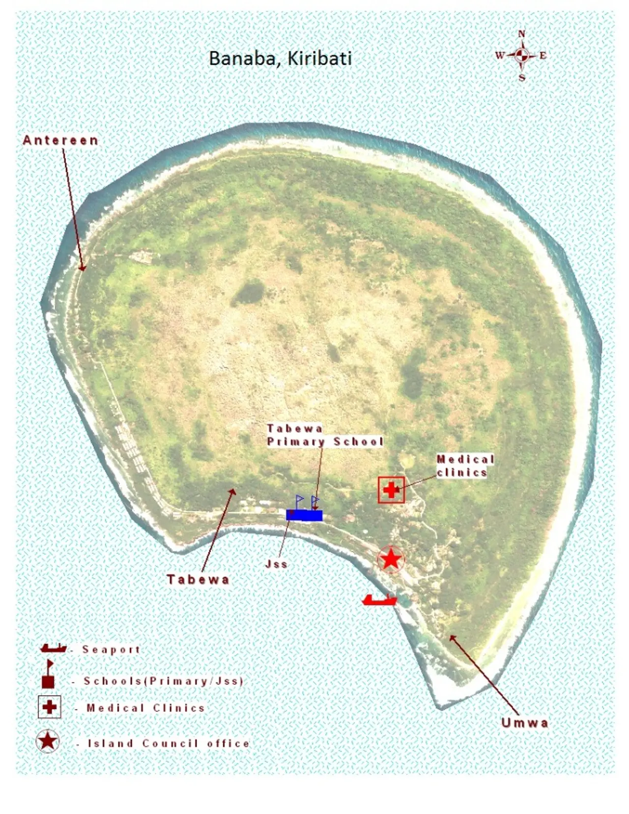
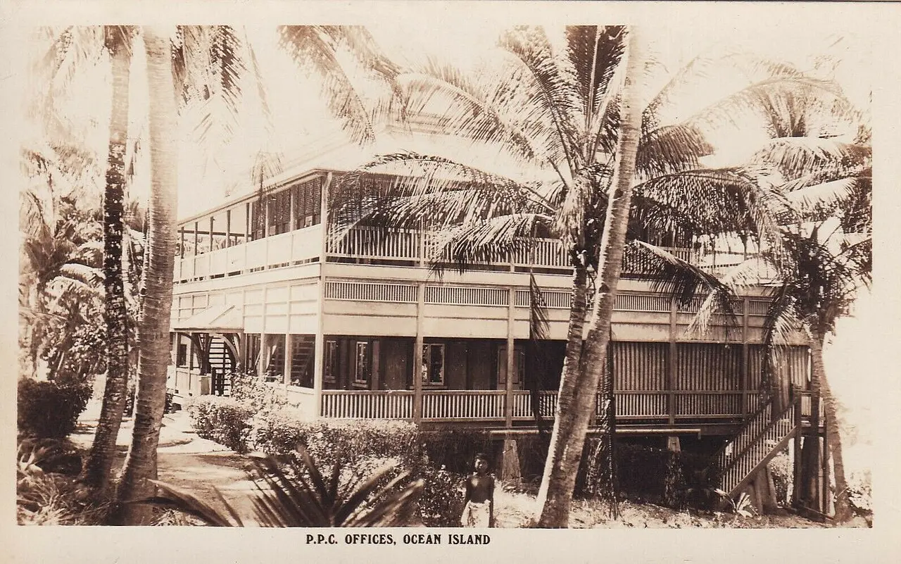
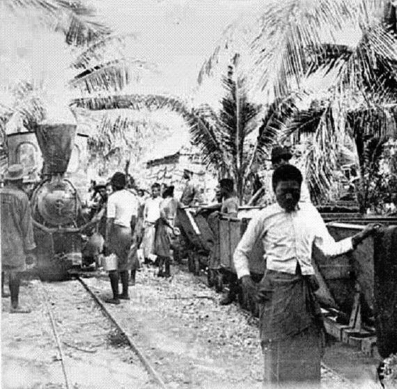
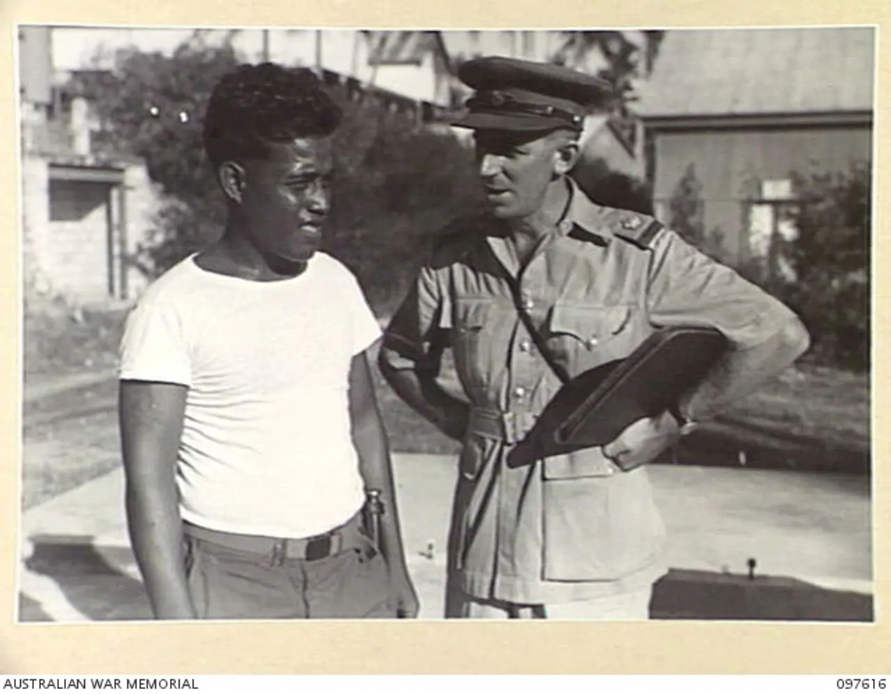
Banaban history connects two islands across the ocean: Banaba and Rabi. Phosphate mining and colonial decisions were part of the displacement that brought Banabans to Rabi in 1945. Families rebuilt their lives while maintaining connections to their homeland. Land, memory and community joined the places left behind with the lives taking shape on Rabi. Arrival began another chapter of a continuing history.
Sources
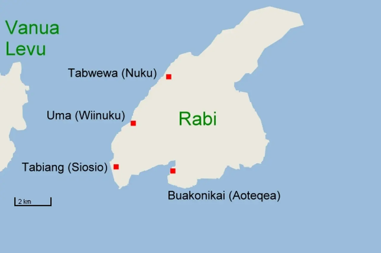
This picturesketch map of Rabi Island, Fiji, Pacific Ocean (2010) · Ratzer1 · CC BY-SA 3.0 · record ↗
Chapter text is awaiting cultural and historical review.
 Dimau Group