 1881
c. 1000 BCE164317741804Early 1800s12 October 1835185330 April 18541855187110 October 1874By 187514 May 18791916192010 October 1970
Rotuma
1881
Shared political history does not erase distinct identities.
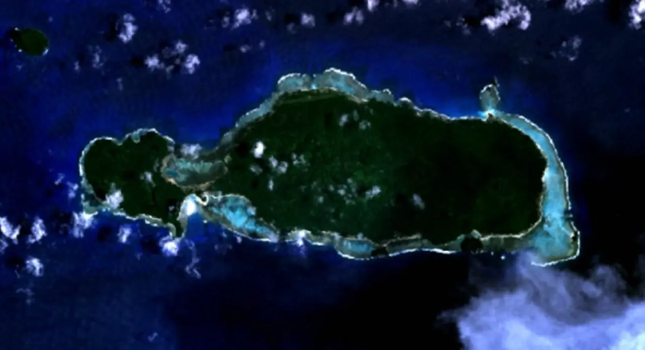
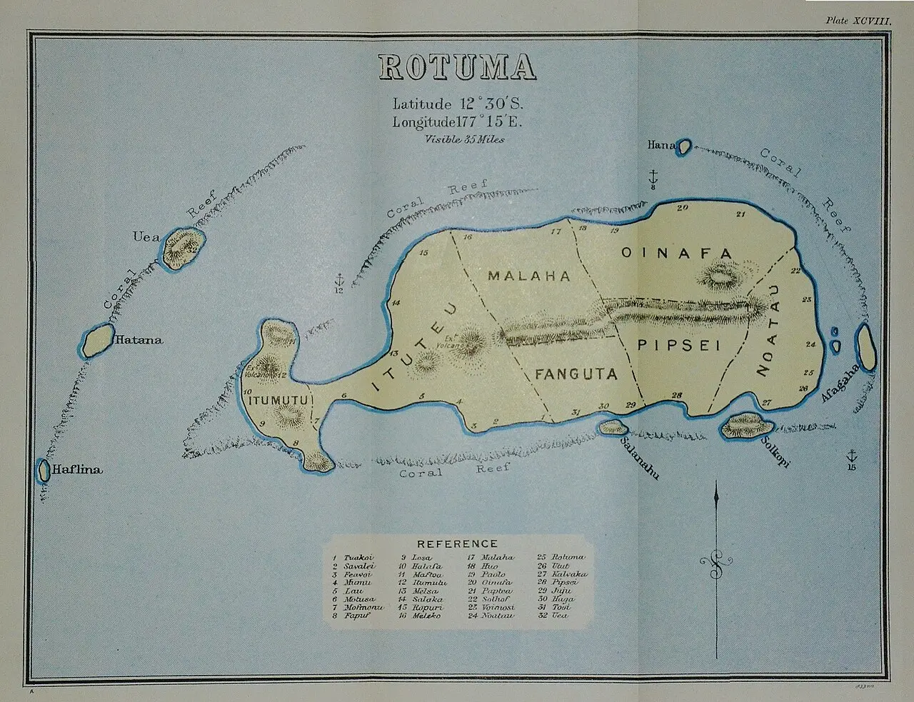
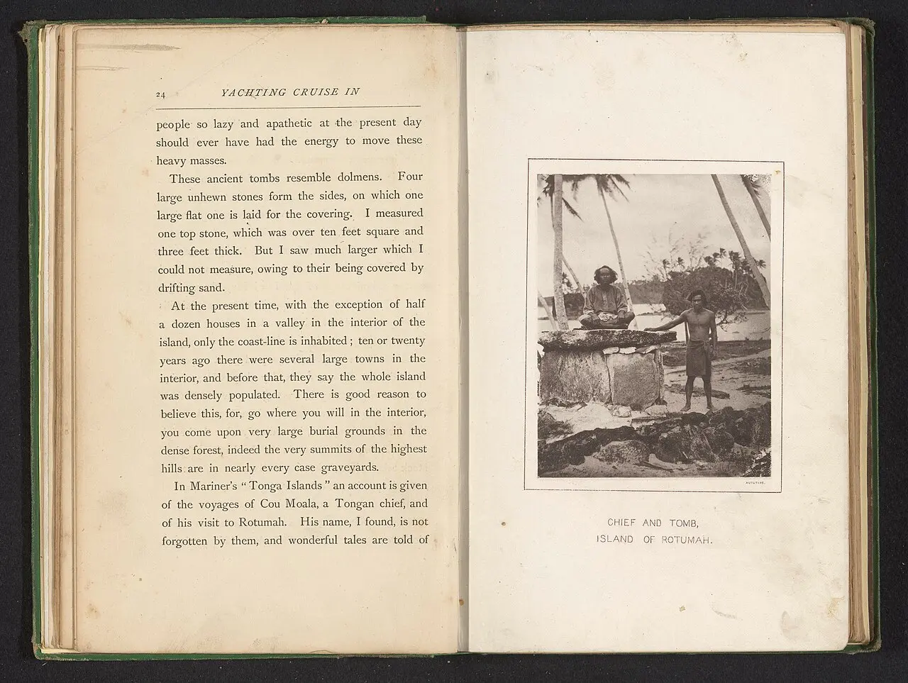
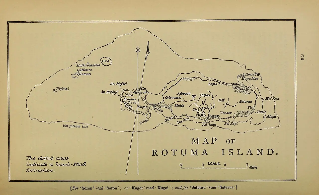
Rotuma has a distinct island history, language and identity. It was ceded to Britain on the thirteenth of May 1881, seven years after Fiji’s cession, and was administered with the Colony of Fiji. That political connection joined different histories. Rotuman life and identity continued through the island’s communities and relationships, alongside a shared institutional history with Fiji.
Sources
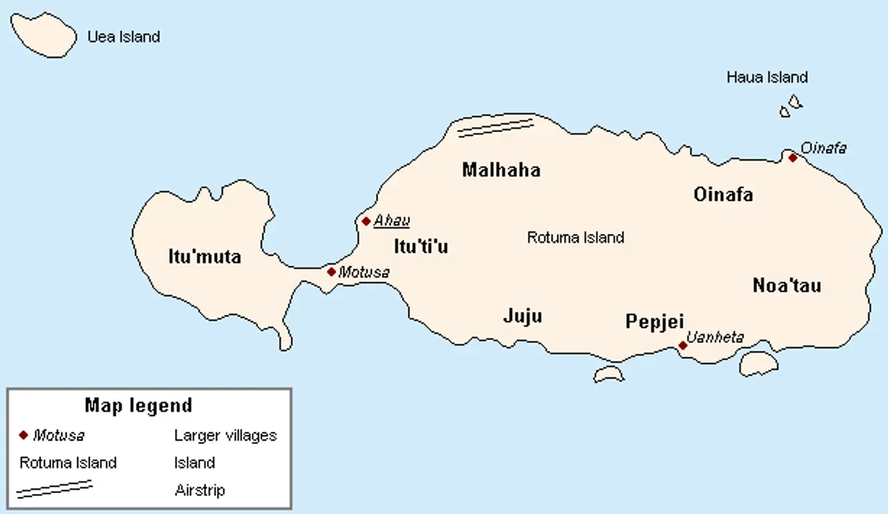
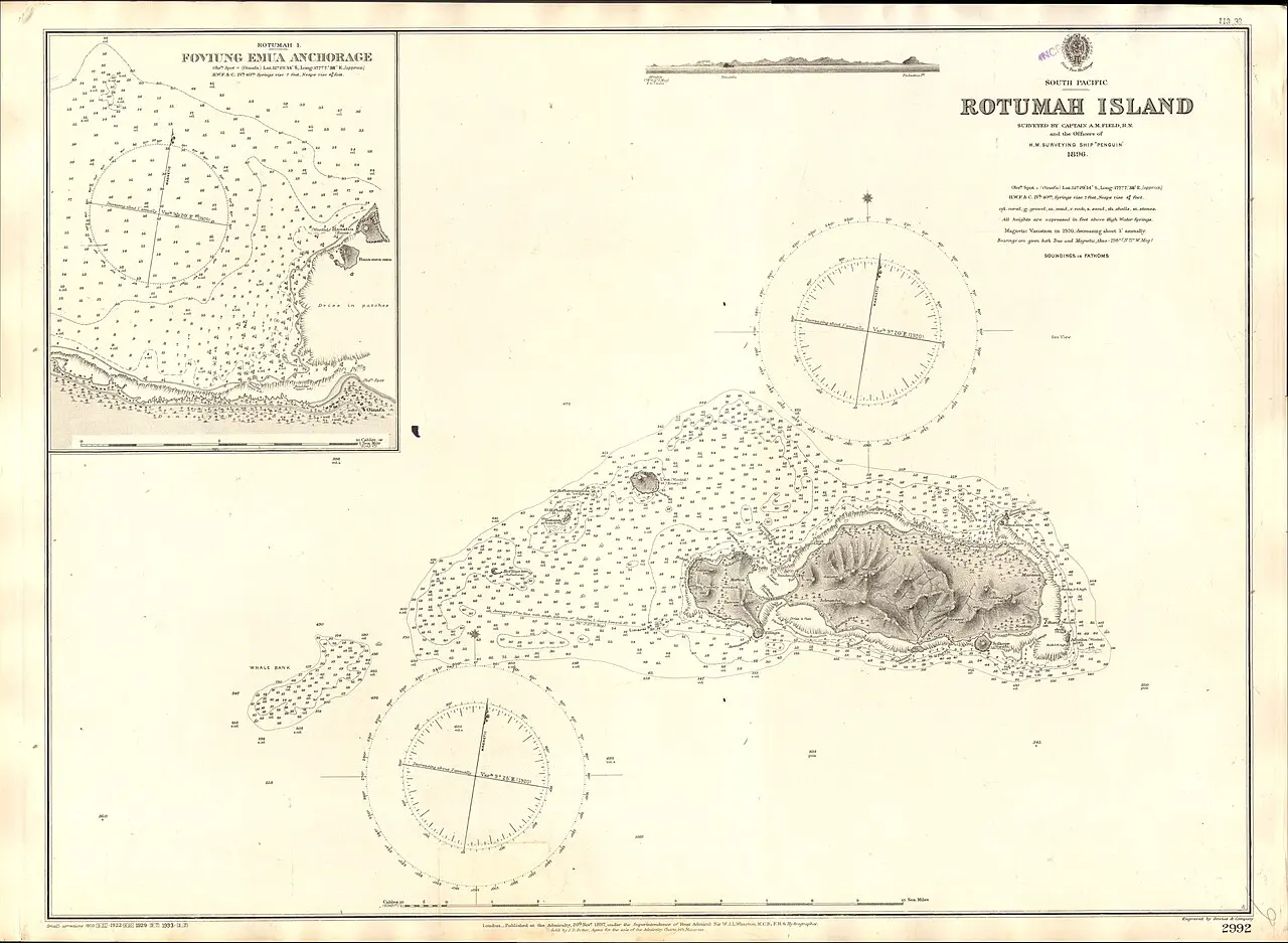
This pictureMap of Rotuma · CC BY 2.5 · record ↗
Chapter text is awaiting cultural and historical review.
 Dimau Group